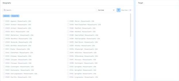
While in the Geography tab, there are multiple ways to make geo selections.
You can either manually input, select from the drop-down menu, upload a file, or switch to Map view.
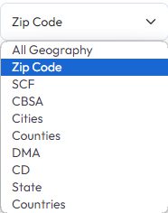
Drop down menu
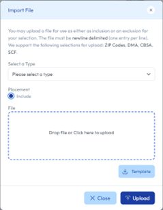
Import a file
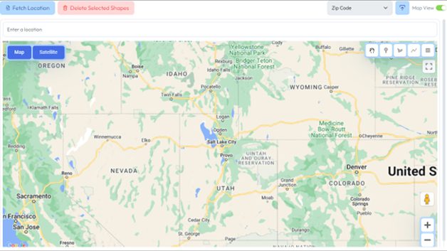
Map View
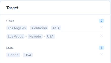
You can select locations based on these geo breakdowns: state, congressional district, DMA, county, city, CBSA, SCF, and zip code. There are no limitations for making multiple selections. For example, you can select Los Angeles (city), Las Vegas (city), and Florida (state) at the same time. If parts of these selections coincide, the tool will de-duplicate the data.
For Zip Codes, you can either draw boundaries using the map widget or click on the Look Up button to search for specific zip codes.
How to Use the Shape Tool to Fetch Zip Codes
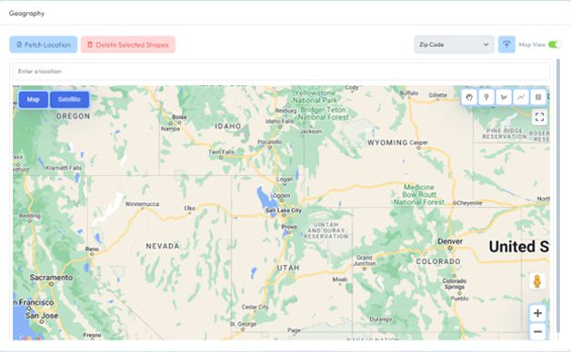
Switch to Map View to use the map widget, click and drag the map to show the area you want to perform research on, within the United States.
For this tutorial, we will look at Las Vegas, NV. In the upper right side of the map, you can find different tools to select the area(s) you want to research. From left to right, these options are the hand tool to move the map, the marker tool to drop pins, the shape tool to draw polygons, the line tool to create lines through the map, and the rectangle tool to make rectangular selections on the map. When using the shape tool, make sure to connect the ends of the shapes you create (i.e., no gaps). The area inside of the shape should be grayed out.
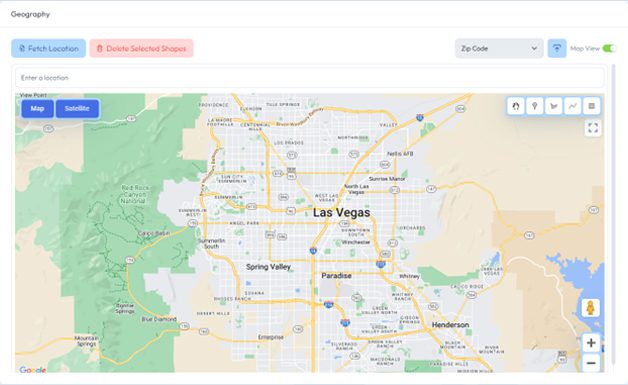
Zooming the map out, we will create a custom boundary to encompass all of Las Vegas and Henderson, NV.
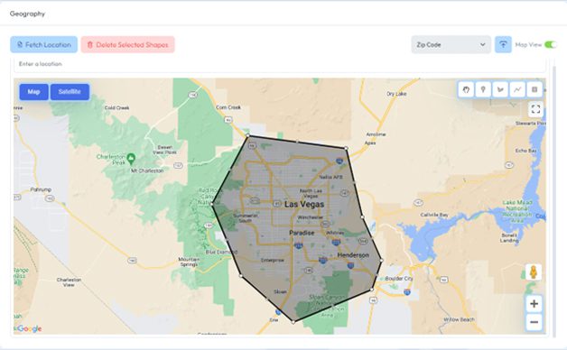
Using the Shape Tool, you begin by clicking the starting location and clicking again at the end of the boundary line. Repeat this process until you have fully enclosed the shape. This widget allows you to create multiple shapes, lines, markers, and rectangles. If you are not satisfied with your shape, click on the Delete Selected Shapes button in the upper right and the last shape created will be removed.
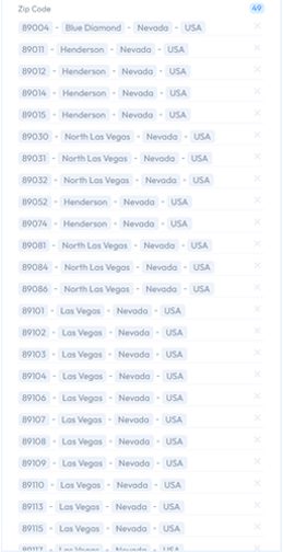
Click on Fetch Location and a list of zip codes within your selected area will populate on the right side of the screen the Target box.
We can see that we now have 49 separate zip codes selected for this proposal.
Fill Out this short form to view library
Yielding progressive results with agile methodology